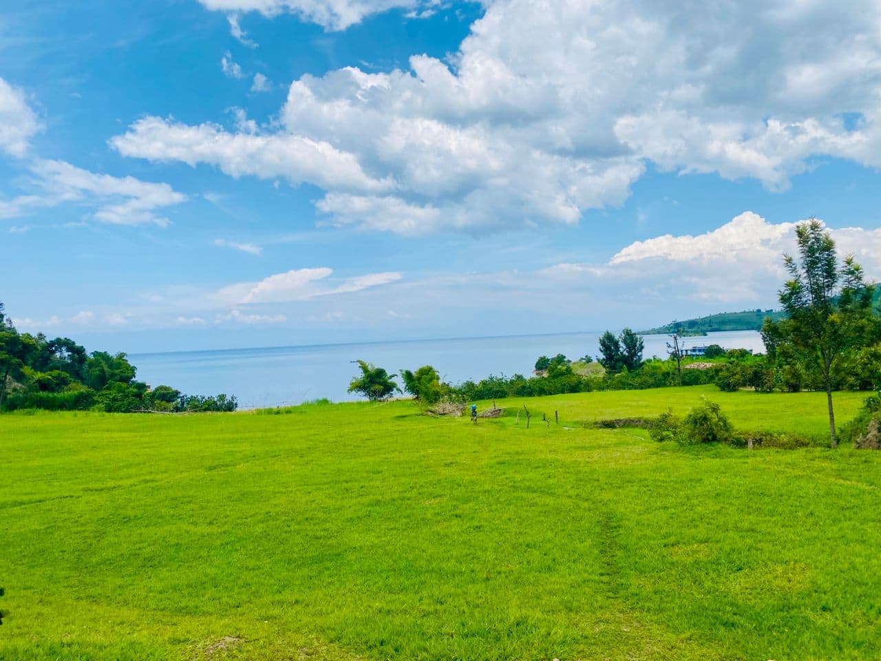
Know What You Own. Make Informed Decisions.
ABIRU helps property owners and investors understand, assess and monitor their properties in Rwanda through professional inspection, mapping, valuation, market intelligence and consultancy — without always requiring you to be physically present.
Property Information Review
A structured review of available documents and official information relating to your land or property.
Location & Mapping Assessment
Assessment of your property's location and extent using available mapping sources.
Boundary Visualization
Visualization of boundaries against available records to help identify possible discrepancies.
Remote & Physical Inspection
Site observations carried out remotely or in person, depending on what the property requires.
Property Valuation
Professional valuation carried out in accordance with applicable professional requirements.
Market Intelligence
Insight into local market conditions to support your ownership and investment decisions.
Risk & Discrepancy Identification
Flagging potential risks or discrepancies uncovered during review, mapping or inspection.
Property Monitoring
Ongoing monitoring of your property so you stay informed of changes over time.
Investment & Development Advice
Guidance on the investment and development potential of your property or land.
Insights
Common Questions
Do I need to be in Rwanda for this service?
No. Many of our assessments — including document review, mapping and market intelligence — can be carried out remotely. A physical inspection is arranged only where the property requires it.
Does boundary visualization replace a formal survey?
No. Boundary visualization does not constitute a cadastral survey or formal boundary determination. Where a boundary issue is identified, we may advise you to engage a suitably qualified professional.
Is the valuation provided under this service formally certified?
Where formal valuation is required, it is carried out in accordance with applicable professional requirements and standards.
Request 360° Property Intelligence.
Schedule a ConsultationInformation provided under the 360° Land & Property Intelligence service is based on available documents, official information, mapping sources, site observations and/or professional assessments, as applicable. Boundary visualization does not constitute a cadastral survey or formal boundary determination. Where a boundary, legal, technical or other specialist issue is identified, the client may be advised to engage a suitably qualified professional. Formal valuation and other regulated professional services are provided in accordance with applicable professional requirements.